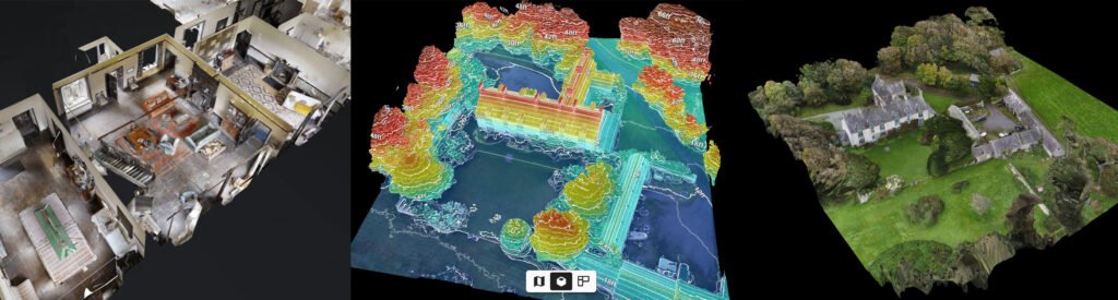
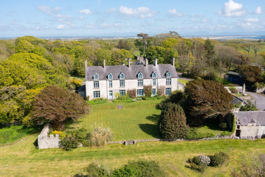
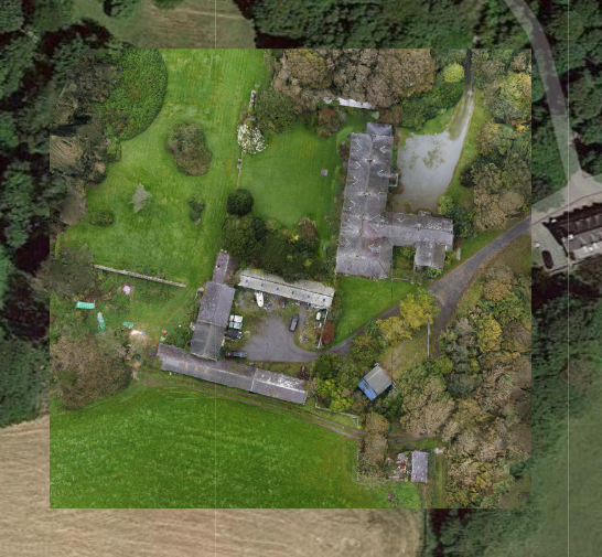
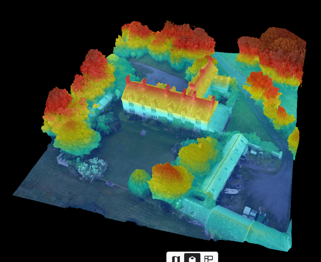
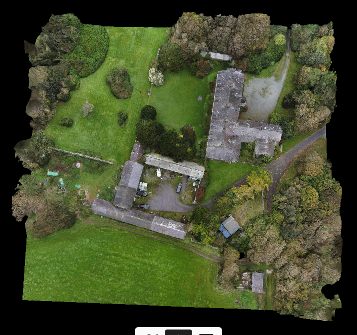
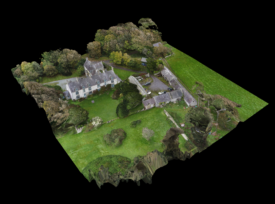
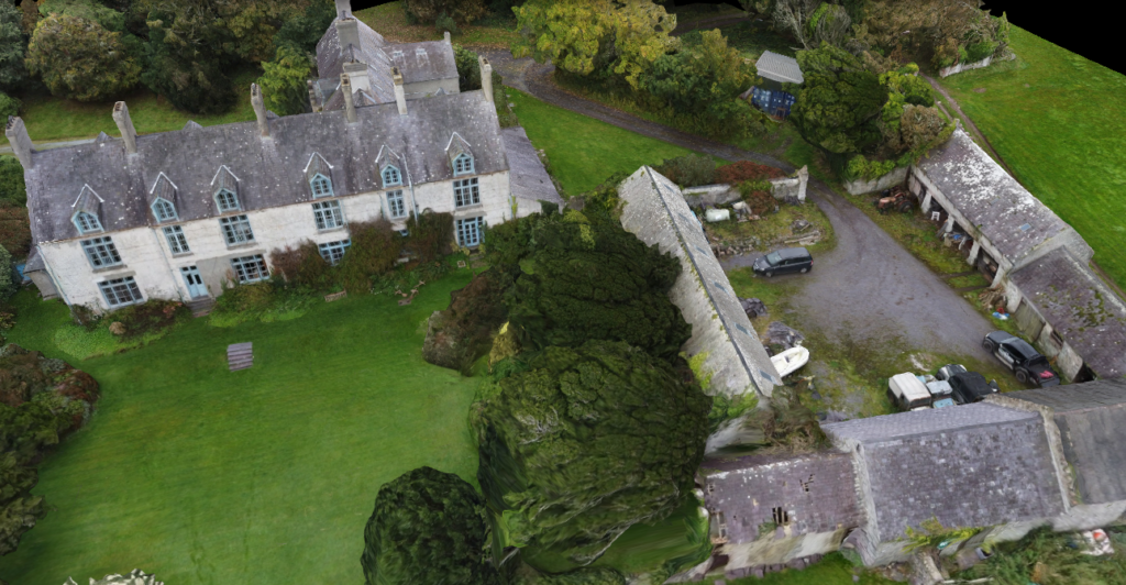
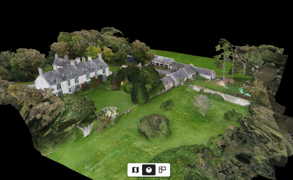
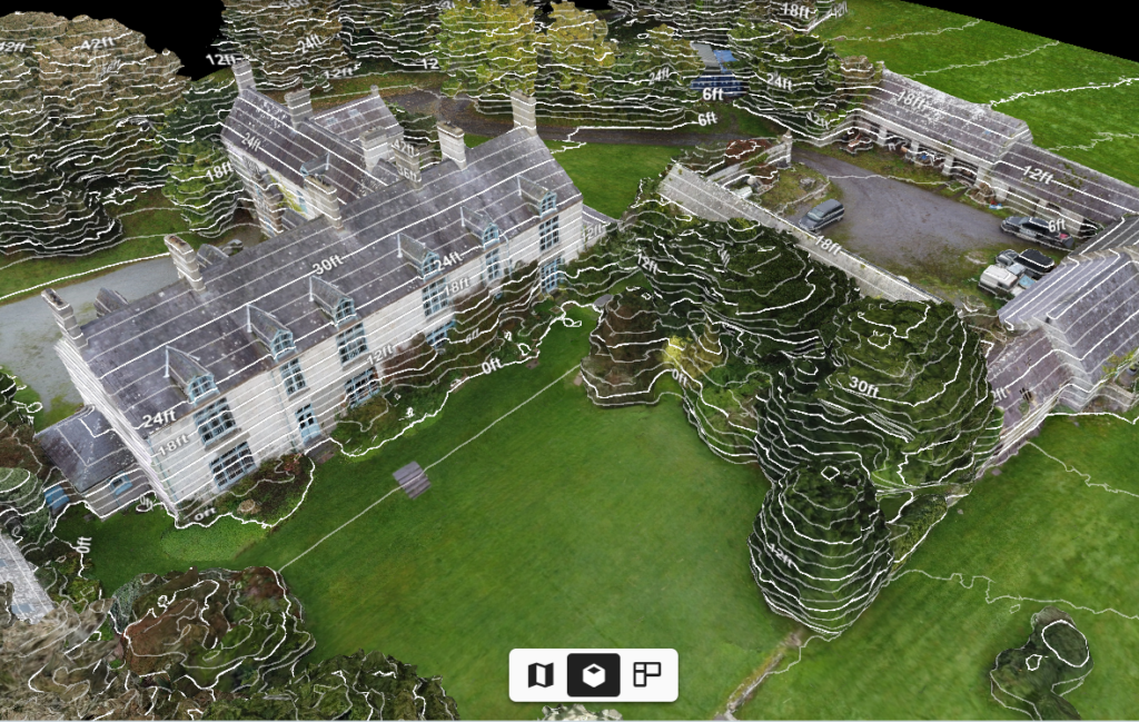
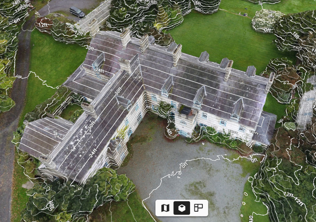
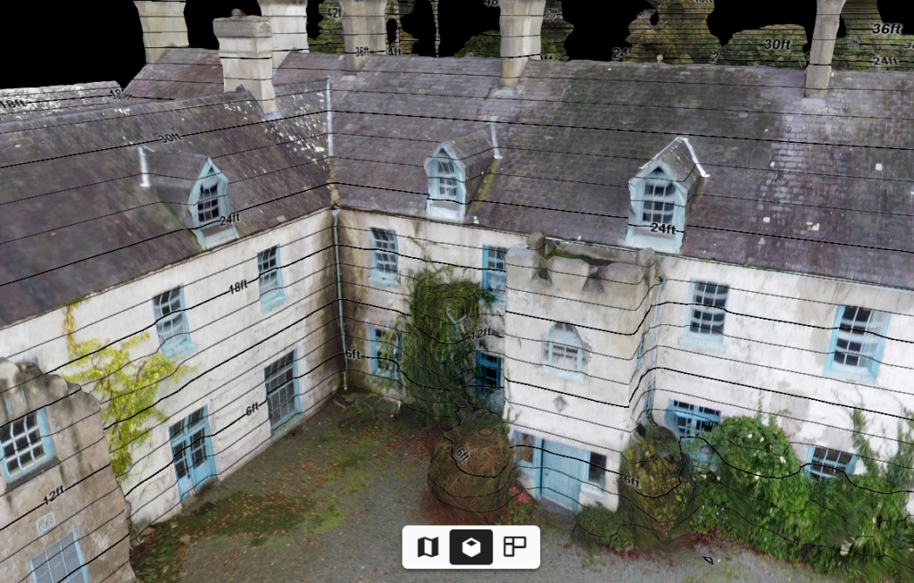
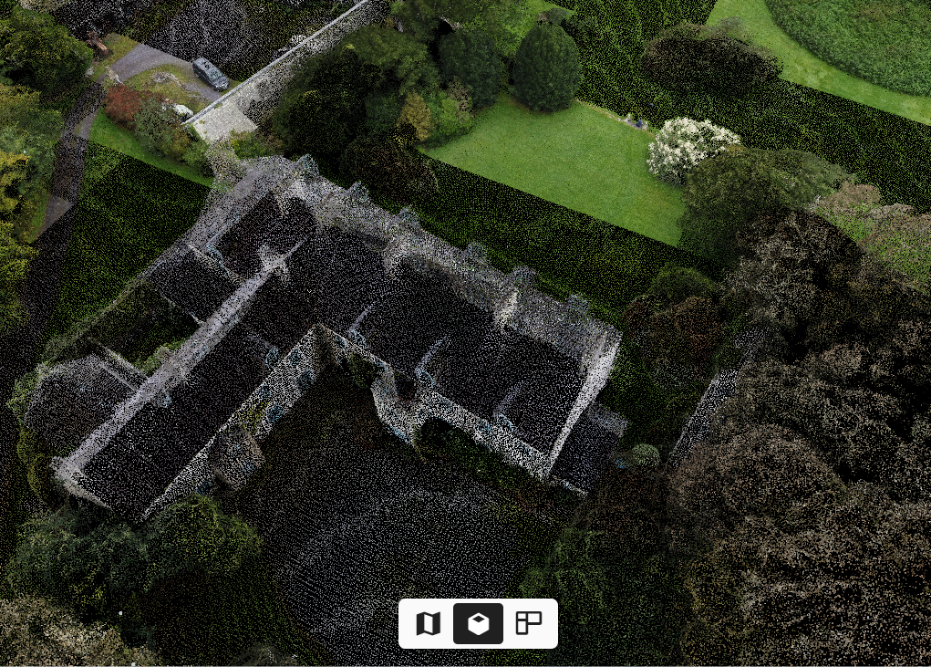
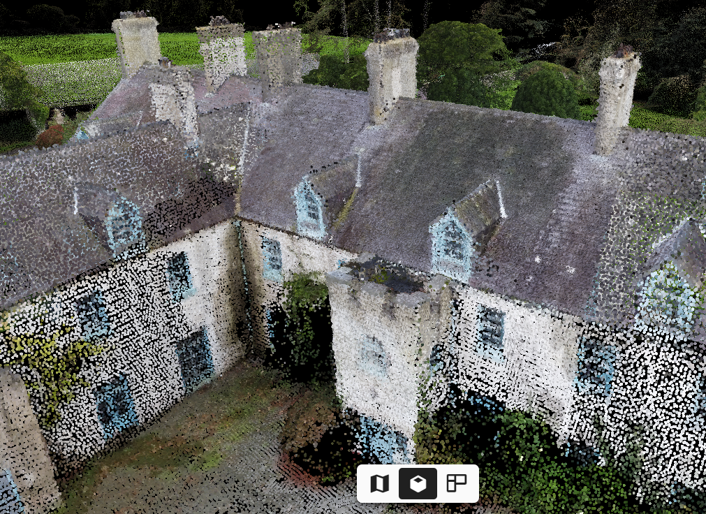
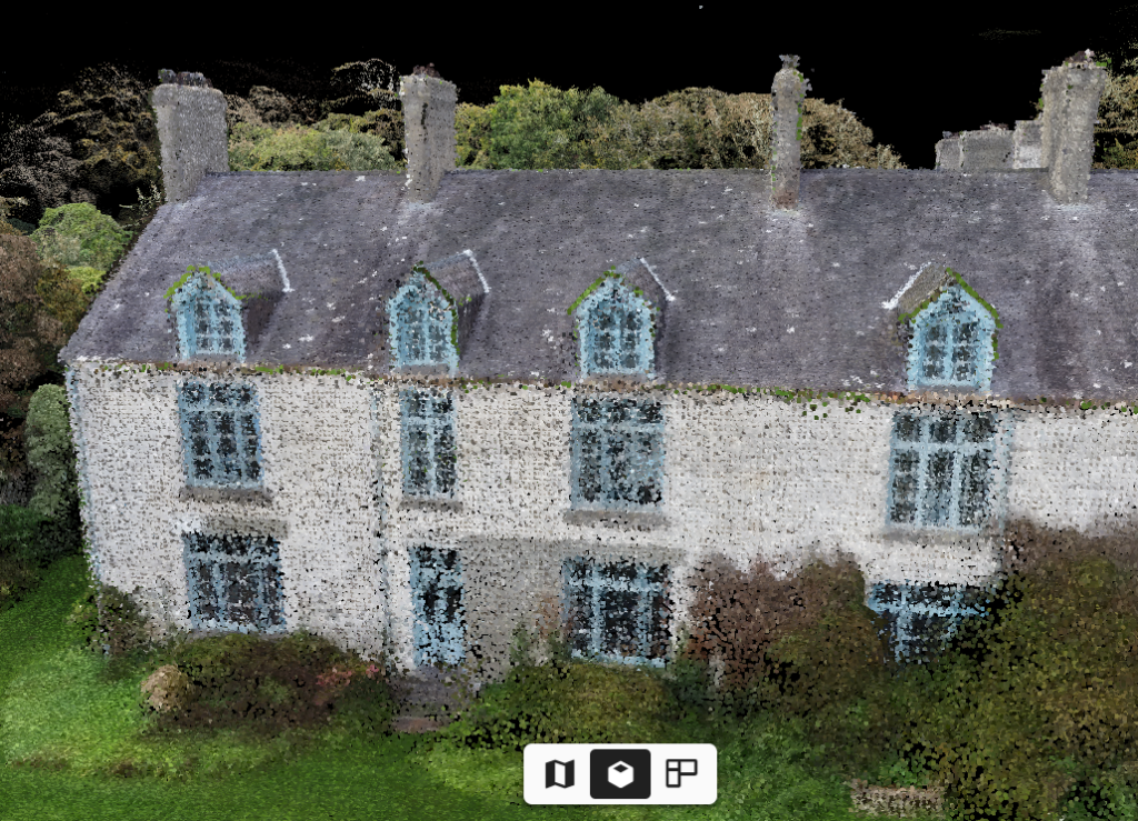
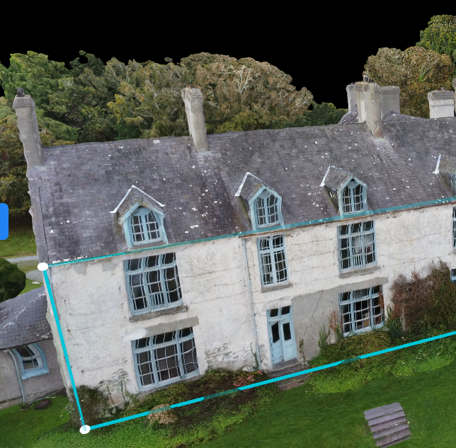
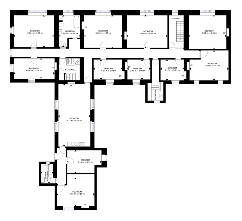
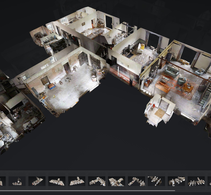
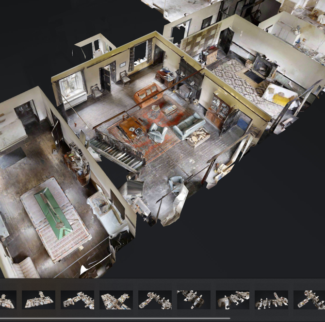
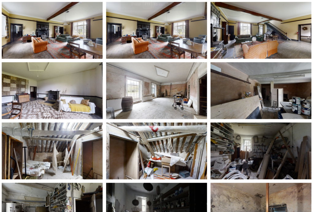
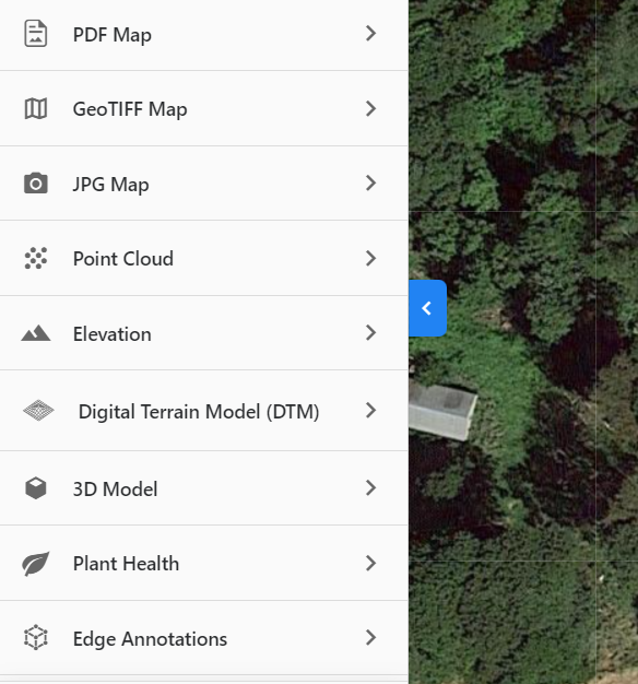
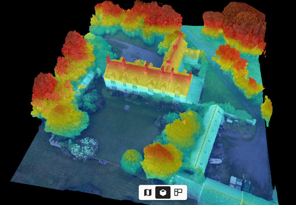
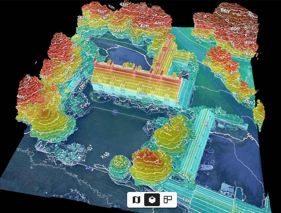
Here are some images and film of a recent job 3D mapping a large country house. Reality capture reduces the need for time-consuming manual inspections, helping to mitigate risk and keep field teams safe. This example shows the capture of aerial and ground views of a large house. Many files were produced for architectural and construction use which included:
- .E57 file
- TruPlan (.SKX file) for Xactimate
- BIM file (LOD 200 building information model in .RVT and .DWG format)
- .IFC (platform neutral) & .RCS (ReCap point cloud) files
- GeoTIFF map
- JPG map
- External and internal point cloud
- Elevation
- Digital Terrain Model (DTM)
- 3D model
- Ceiling colour plan
- Colour plan
- .OBJ & .MTL files
- .YYZ Cloud file
- Edge annotations (External)
- Film (4kHD) and photographic roof survey
- Full HDR virtual tour – accessible via desktop, mobile and VR (Oculus VR)
- Interactive internal 3D model
- HDR images & internal 3D views
- Schematic floor plan
0 Comments Leave a comment