Here at 360 Virtual View we also provide the full range of aerial photography, drone photography & drone film services. We work with the full range of clients from corporate & construction clients, to estate agents and surveyors. We’re have offices in Sheffield, South Yorkshire, and Bakewell, Derbyshire and cover the whole of the UK.
Drone photography, aerial photography, and aerial film is an amazing way to show your business online providing your website viewers with much more information. It’s fast, accessible, and very innexpensive compared to just a few years ago meaning that it’s now available for almost any business who has a bricks-and-mortar location
Drone Photography & Aerial Photography
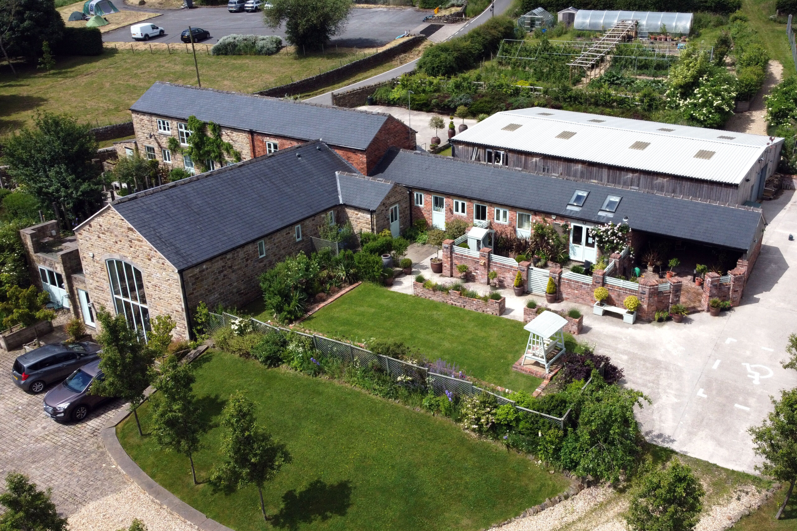
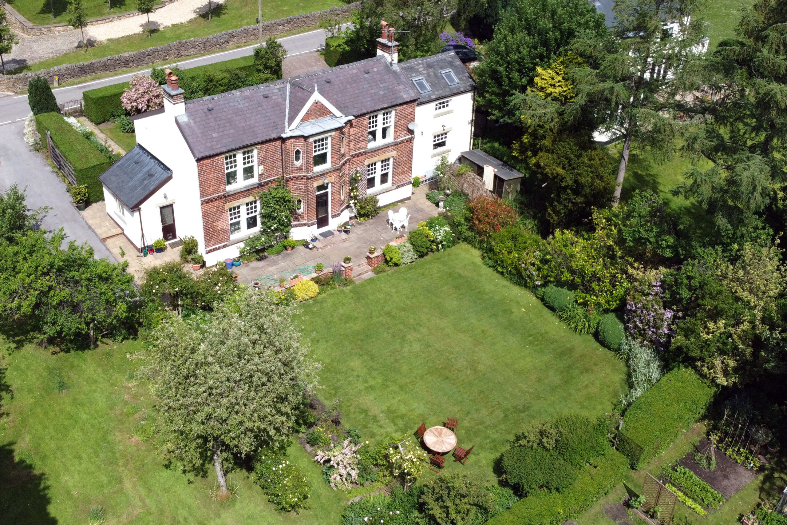
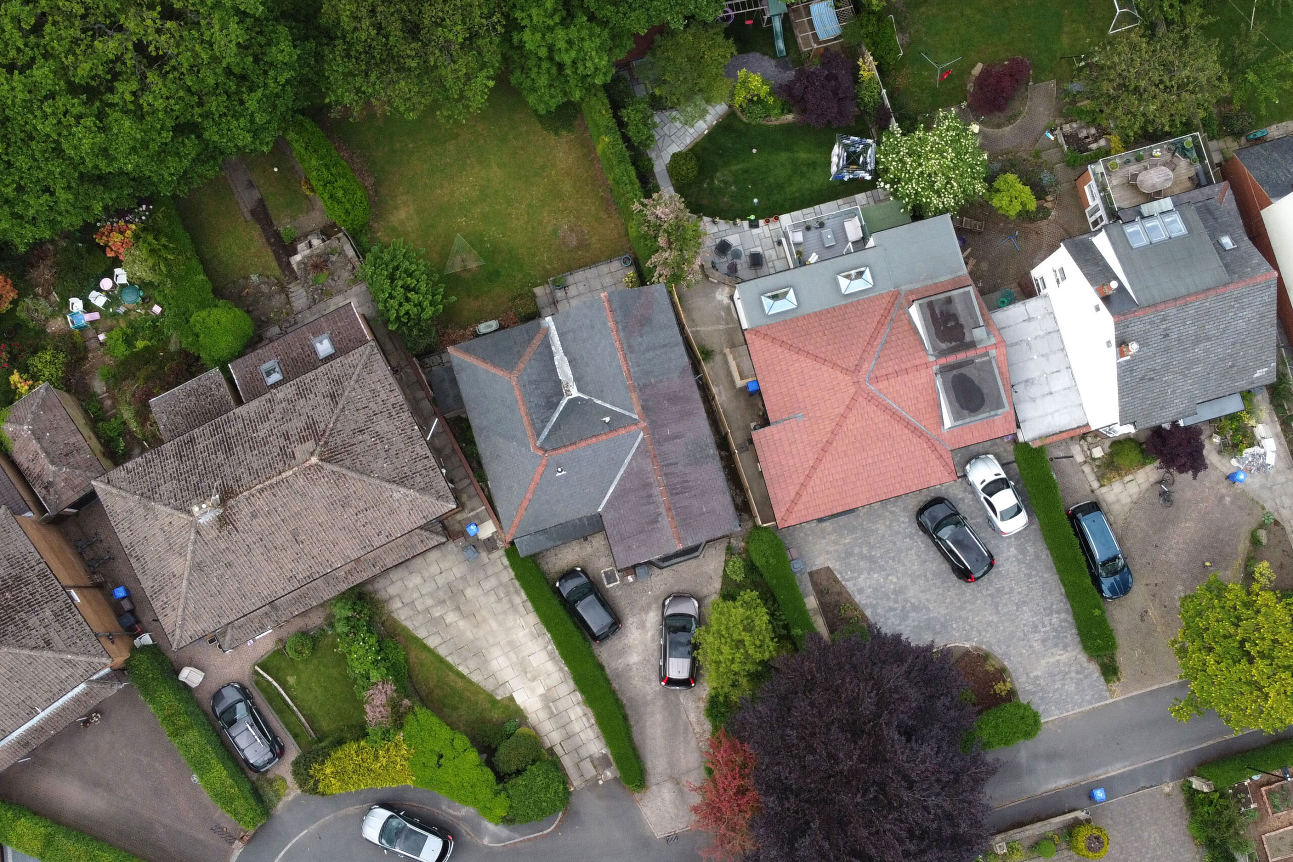
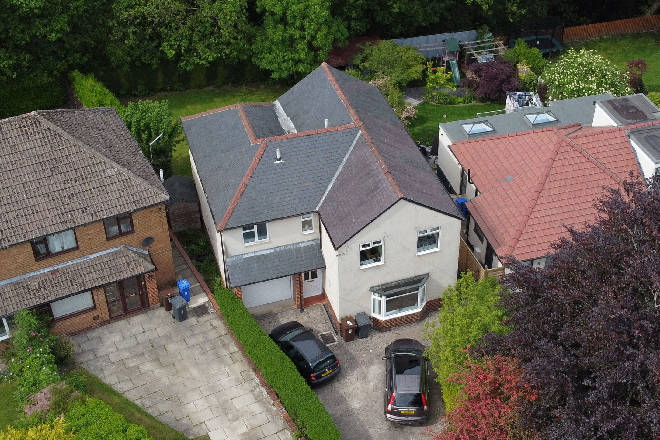
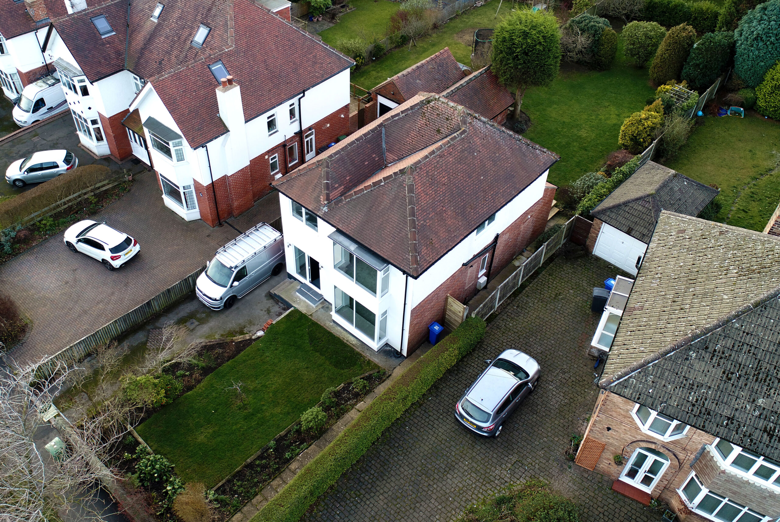
It’s often difficult to communicate the location, look and feel of many properties using traditional photography. Therefore, along with our virtual tours & 3D walkthroughs we also provide a property drone film & photography service. In other words, we produce stunning aerial photography and videos of properties for residential estate agents and letting agents.

Aerial 360 Degree Photography
Our aerial 360 degree photography is an amazing way to show an area and is fully compatible with VR (Virtual Reality)
Drone film
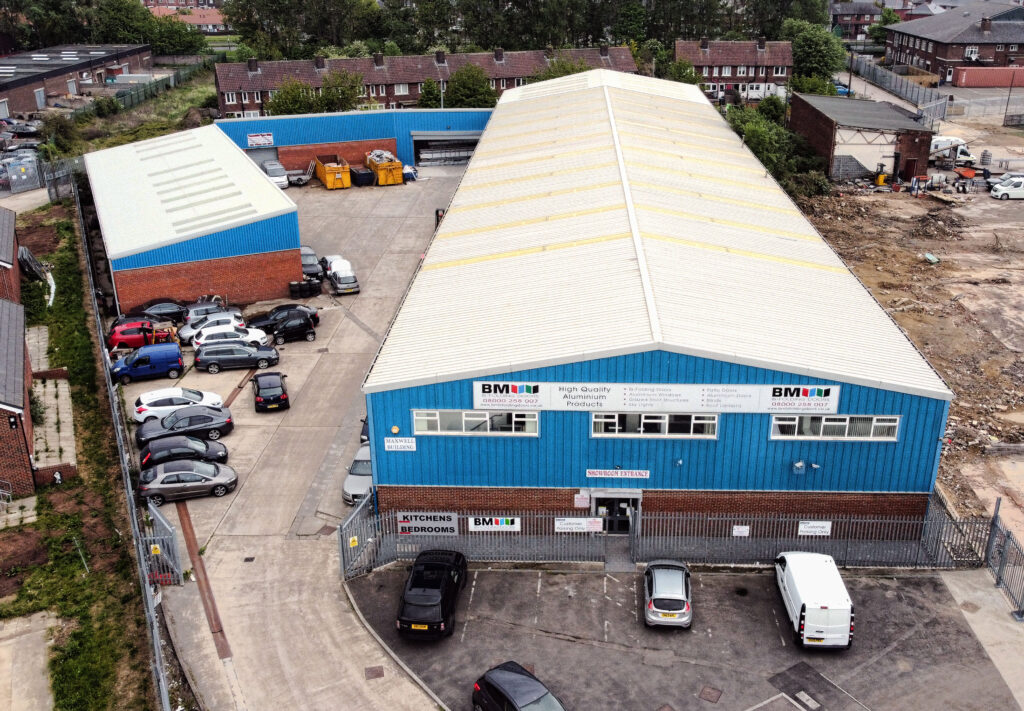
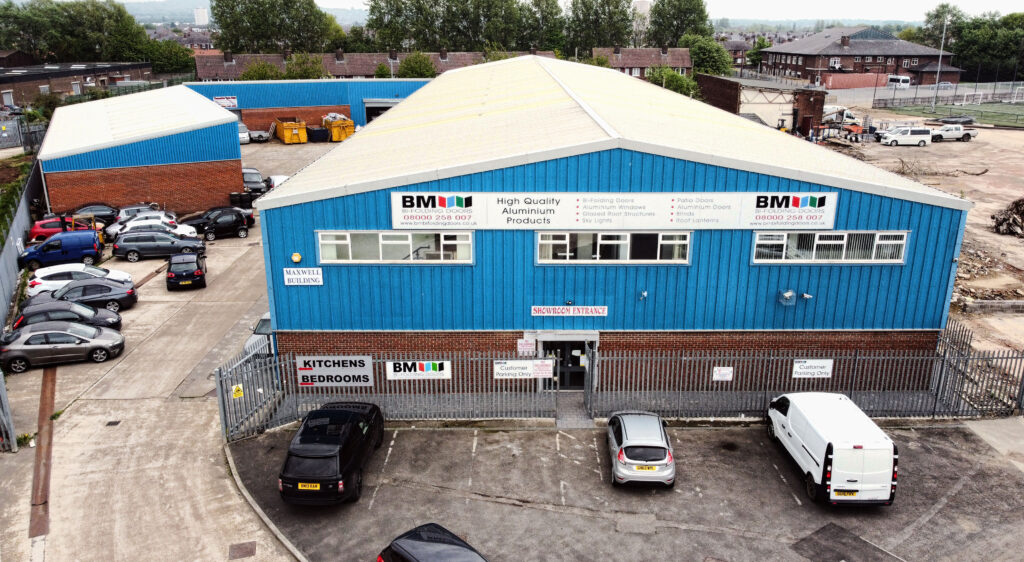
Drone and aerial photography for Commercial Property Drone Photography
If you’re in the business of selling or leasing commercial property there is now a cost-effective way to create stunning aerial film and photography allowing you better communicate things like the size, look and feel of a commercial property. This type of drone photography can be used for buildings and areas such as offices, industrial units, factories, farms, and land.
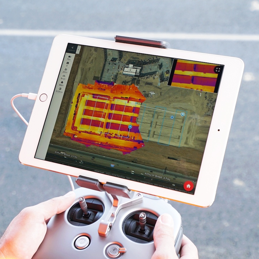
Visual Mapping by Drone
Drone Photography is an amazing way to collect very high-resolution aerial images used for a wide range of commercial purposes. For example, hard to reach or dangerous places can be easily captured without the need to use a human photographer. Areas like quarries, landfill sites, derelict buildings, construction sites, and open cast mines can now be captured and viewed quickly, easily and much more cost-effectively.
3D Mapping helps maximise the detail of an area using many images from different points and altitudes to build a high-resolution and detailed 3D rendered model of an area. All the images are geo-referenced also meaning that additional images or ‘before & after’ images can also be easily added.
Drone Film & Photography for Sports, Travel & Tourism
Using the latest in GPS and drone technology, we’re able to capture events and locations in stunning details from view points that were once inaccessible. Drone film and photography is a great way to communicate things like location, movement, emotion, and feel and can also be easily edited together with traditional film and photography.
Corporate Film & Photography
Great looking video can be a very important and useful for businesses whether it’s promotional video or for training purposes. Drone film and photography allows you to capture views and locations that were once inaccessible and help to much better communicate size and location for outside areas and buildings. We’re also able to capture aerial film and photography from indoor locations such as factories, workshops and offices.
Building Inspection and Surveys
Drone photography is a great way to access difficult-to-reach places or dangerous constructions such as towers, chimneys, and rooves. Now, surveys and inspections can be much safer, easier and cost-effective using remote drone photography.
Construction Sites
Construction site are often difficult to photograph and can be dangerous places. However, using the latest in drone photography technology, we can capture and show all the stages of a development from start right through to completion. Using GPS technology we’re also able to produce like-for-like images of before or after or even aerial time-lapse film.
Drone Photography for Agriculture
Using the latest in unmanned drone technology, it is now very easy to remotely capture and area of land and turn it into actual data within only a few hours. Precision agriculture is suddenly now accessible and affordable using drone technology.
More information
Get in touch today for more information on drone film and photography by calling 0114 383 0711