We capture big environments with precision. Our team uses the Eagle Max with RTK module to create digital replicas of real-world spaces.
How the Eagle Max LiDAR Works
The Eagle Max scanner fires rapid laser pulses to measure distances in real time. It builds a highly accurate map of any physical space in minutes. And it processes up to 200,000 data points every second to ensure we capture all the details.
The Power of the RTK Module
Standard GPS isn’t accurate enough for professional engineering or surveying. We solve this by using the RTK (Real-Time Kinematic) module on the Eagle Max. This module receives constant correction data from satellites. It pins your spatial data to exact global coordinates with an accuracy of 1 to 3 centimetres.
The Formats and Deliverables We Produce
We process the raw scan data from the Eagle Max into formats that fit directly into your existing software. You receive clean, usable files immediately after we process the site data.
Standard 3D File Types
Our system exports standard point clouds and textured meshes. You get PLY and OBJ files paired with high-resolution PNG textures. These import perfectly into software like AutoCAD, Revit, and Blender.
High-Fidelity Renderings
We also produce 3D Gaussian Splats. This advanced technique turns our 8K HDR photographs into fully photorealistic 3D scenes. This helps you build immersive virtual environments for Unreal Engine and interactive digital tours.
Flexible Scanning Methods for Any Environment
Every site presents different challenges. 360 Virtual View adapts our data collection methods to suit your specific terrain and project requirements.
Mobile and Aerial Scanning
We capture continuous data while walking the Eagle Max through your site. We can also mount the equipment to vehicles or drones to map large outdoor areas quickly. The system maintains perfect data quality even when moving at 20 kilometres per hour.
Static Data Collection
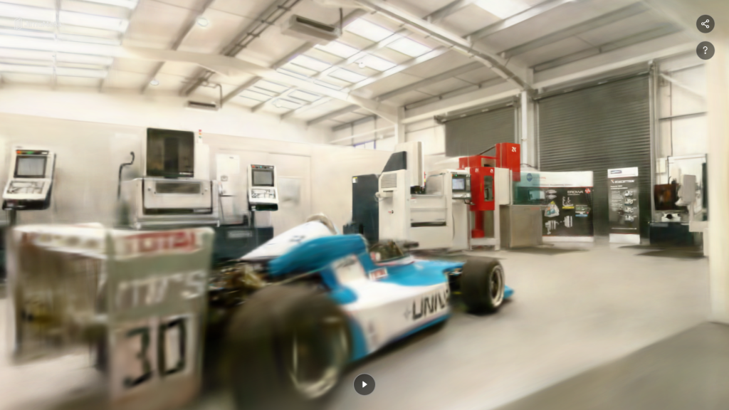
We mount the scanner on a tripod for tasks requiring absolute detail in a single location. This captures comprehensive, fixed-point visual data. This works perfectly for dense architectural features or complex factory machinery.
Why Choose the Eagle Max Scanner?
Capturing a site manually wastes time and introduces human error. Our digital data collection provides perfect measurements the first time.
Speed and Efficiency
We map large areas in a fraction of the time traditional surveying takes. The Eagle Max features a 140-metre range and a 360-degree field of view. This means we scan an entire factory floor or street in a single pass. You save money by reducing the time we spend on your site.
True-to-Life Visual Fidelity
The equipment uses four distinct 48-megapixel cameras. These capture 8K HDR imagery simultaneously with the laser data. This guarantees your digital twin looks exactly like the real physical location.
Industries That Rely on 360 Virtual View
Accurate spatial data solves problems across multiple professional sectors. We supply the raw data needed to keep your projects moving forward.
Architecture, Engineering, and Construction
Surveyors and architects use our point clouds to build precise floor plans and BIM structures. The millimetre-level accuracy prevents costly mistakes during the design and construction phases.
Media, Real Estate, and Facilities Management
Location scouts and game developers use our Gaussian Splats to build digital sets and virtual reality spaces. Facilities managers use our highly detailed virtual tours to manage large plants remotely and conduct safety audits.
Book Your Eagle Max Site Scan Today
You need precise, reliable data for your next project. 360 Virtual View provides the technical expertise and the advanced hardware to deliver exactly what you require.
Discuss Your Project Requirements
Contact us today to schedule your site scan. Tell us about your location, and we will tailor a data collection strategy that meets your exact needs.